CASCAIS AND WEST CASCAIS
CASCAIS
N 38º 41' 49''; W 9º 25' 14''

The former fishing village gained fame as a resort for Portugal's royal family in the late 19th century and early 20th century. Nowadays, it is a popular vacation spot for both Portuguese and foreign tourists.
It is located on the Estoril Coast (also known as the Portuguese Riviera), in the Greater Lisbon subregion.] It has an airport for general aviation serving the Lisbon Region in Tires (S. Domingos de Rana), the Cascais Aerodrome, that also offers domestic scheduled flights by Aero VIP.
BY TRAIN
LISBON (CAIS DO SODRÉ) Train Station - GPS N 38.70593 ; W 9.14393
https://www.cp.pt/passageiros/en/train-times/Train-time-results
GPS N 38.70124; W 9.41827
Beside the train station of Cascais, there is a shopping center, with many inexpensive restaurants and a good view of the sea.
Beside the train station of Cascais, there is a shopping center, with many inexpensive restaurants and a good view of the sea.
GPS N38.70115; W 9.41894
McDonald's CASCAIS
GPS N 38.7000; W 9.41831
http://www.visitcascais.com/en
In just 3 minutes, learn more about Cascais, a surprising and welcoming place with lots of glamour, serenity, and natural surroundings. Its fantastic food, friendly and warm people, and mild climate make it an exceptional destination.
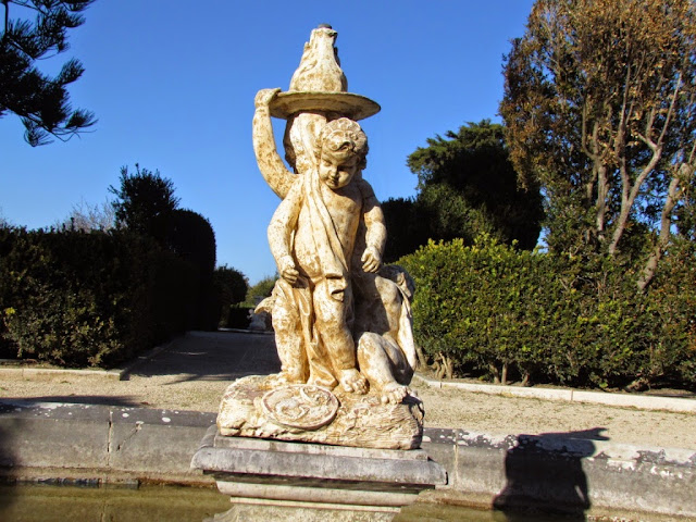
1 - FOUNTAIN

 |
| SHOPPING CENTER CASCAIS VILLA |
In just 3 minutes, learn more about Cascais, a surprising and welcoming place with lots of glamour, serenity, and natural surroundings. Its fantastic food, friendly and warm people, and mild climate make it an exceptional destination.
1 - FOUNTAIN

http://www.cm-cascais.pt/en/equipamento/museu-do-mar-rei-d-carlos-museum-sea-king-carlos-i
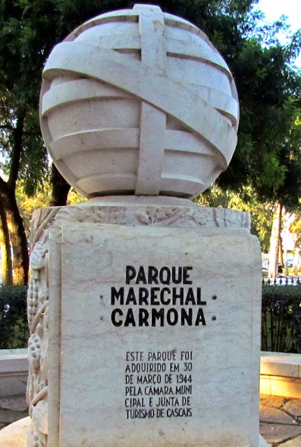
8 - PARQUE "MARECHAL CARMONA"
8 - PARQUE "MARECHAL CARMONA"
(Inside - Museum of Castro Guimarães)
https://www.cascais.pt/en/equipamento/marechal-carmona-park
Free
Address:
Praceta Domingos D’Avilez - Av. da República
Cascais
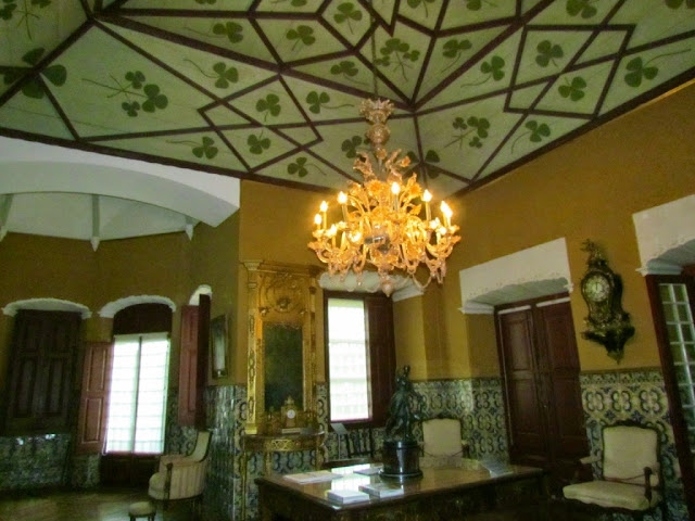
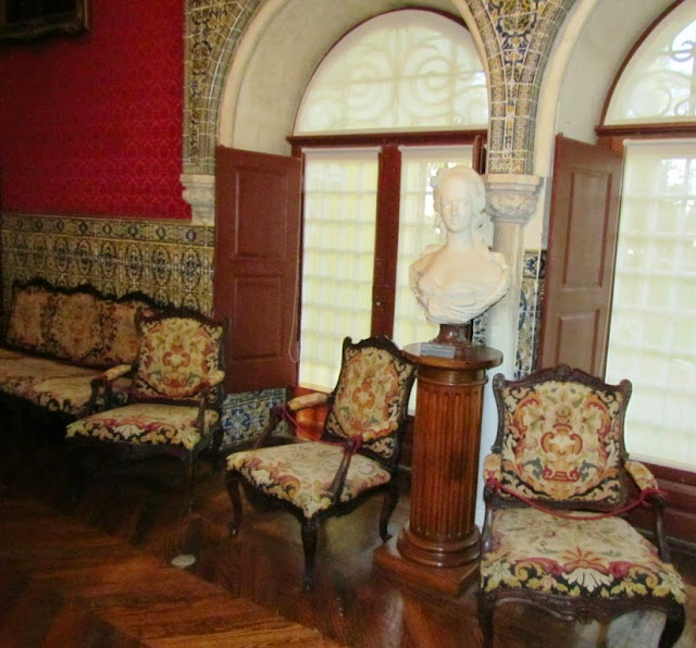
Created in the 40s, this large green space is the result of the joining of the gardens of Palácio Condes Castro Guimarães (Counts of Castro Guimarães Palace)
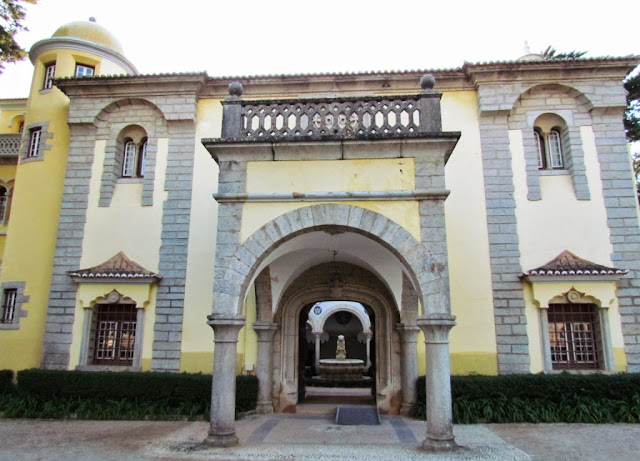
9 - MUSEUM OF CASTRO GUIMARÃES
GPS N38.69224; W9.42099
FREE
Praceta Domingos D’Avilez - Av. da República
Cascais
Created in the 40s, this large green space is the result of the joining of the gardens of Palácio Condes Castro Guimarães (Counts of Castro Guimarães Palace)
GPS N38.69224; W9.42099
FREE
Address:
Condes de Castro Guimarães Museum
Avenida Rei Humberto II de Itália
Parque Marechal Carmona
2750-319 Cascais
https://www.cascais.pt/en/equipamento/condes-de-castro-guimaraes-museum

10 - HOUSE OF SANTA MARIA
https://www.cascais.pt/en/equipamento/casa-de-santa-maria-house-santa-maria
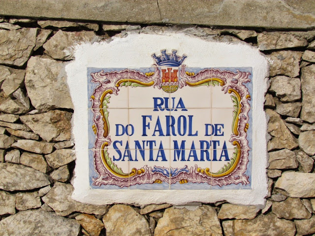
SANTA MARTA LIGHTHOUSE MUSEUM
https://www.cascais.pt/en/equipamento/santa-marta-lighthouse-museum
ALL MUSEUMS IN CASCAIS:
https://www.cascais.pt/en/agenda-cascais/visitar/museus

10 - HOUSE OF SANTA MARIA
https://www.cascais.pt/en/equipamento/casa-de-santa-maria-house-santa-maria
https://www.cascais.pt/en/equipamento/santa-marta-lighthouse-museum
FREE
ALL MUSEUMS IN CASCAIS:
https://www.cascais.pt/en/agenda-cascais/visitar/museus
11 - BRIDGE
MONTE ESTORIL

ESTORIL
During the Second World War, the region was the center of spies and diplomatic secrecy, situations that provided the region with a cosmopolitan atmosphere and sophistication.
SÃO JOÃO DO ESTORIL
São João do Estoril is a village belonging to the parish of Cascais and Estoril, in the municipality of Cascais, in Portugal. It is located on the Atlantic coast, in the south of the Lisbon Peninsula, 3.7 km from Cascais, and 24 km from Lisbon. Its coastline is steeper when further east, with two beaches: Azarujinha beach and Poça beach.
SÃO PEDRO DO ESTORIL
São Pedro do Estoril is a village in the parish of Cascais and Estoril, Cascais municipality, in Portugal. Located on the Atlantic coast, at the eastern end of the parish, its rugged coastline gives way to a small bay where a homonymous beach is located
PAREDE
Parede is a village and former Portuguese parish inserted in the east of the municipality of Cascais, in the district and metropolitan area of Lisbon. With an area of 3.6 km², it is the least populous of the three towns in the municipality, having in 2011 a population of 21,660 inhabitants.
It is characterized by its beaches, whose sun exposure and abundance of iodine give them therapeutic characteristics. This quality would have repercussions in the composition of the village itself, rich in examples of summer architecture from the 19th and 20th centuries
CARCAVELOS
Carcavelos was, until 2013, a civil parish in the Portuguese municipality of Cascais, about 12 kilometers west of Lisbon.
At the mouth of the Tagus River and east of the main beach is the fortification of Fort of São Julião da Barra. It was used to protect the Tagus from enemy ships, but in the 20th century, it became the official summer residence of the Minister of Defense.[citation needed]
In the 19th and 20th centuries, Carcavelos was an important landing point in the international telegraph network, providing crucial communication links for the British Empire; most of the links were run by forerunners of the Cable & Wireless company.
Carcavelos is home to several international schools including Saint Julian's School, and Nova School of Business and Economics.
OEIRAS

Oeiras is a municipality in the western part of the Lisbon metropolitan area, a subregion of Greater Lisbon, in continental Portugal. It is part of the urban agglomeration of Lisbon, 16 km from the capital. The population in 2011 was 172,120 living in an area of 45.88 km2, making the municipality the fifth-most densely populated in Portugal.
Oeiras is an important economic hub, being one of the most highly developed municipalities of Portugal and Europe. It has the highest GDP per capita in the country, being also the second-highest municipality (immediately after Lisbon) in terms of purchasing power as well as the second one collecting taxes in the country. These economic indicators also reflect the education level of the inhabitants, as Oeiras is the municipality with the highest concentration of population with higher education in the country. It also has the lowest unemployment rate in the Lisbon area.
By the end of the 1980s, however, Oeiras began to constitute its own economic pole in the Lisbon metropolitan area, concentrating its development on tertiary activities linked to science, investigation, information technology, and communications. At the end of the 20th century, the municipality became known for its high standard of living, leaving behind its image as a suburb of Lisbon and assuming an important position as a center associated with new technologies (with the establishment of various technology parks, such as Taguspark and LagoasPark) and service industries. The elevated standard of living and work allowed the region to obtain several awards, including the Best Municipality to Work, Municipal Excellence' Award, European Enterprise Award, and the ECOXXI Award.
(P) Historical center GPS N 38.69377; W 9.31089
 |
The best way to reach the spectacular sea promenade is, for those arriving on the LISBON - CASCAIS train, get off at Santo Amaro train station and walk 500 meters in the direction of the sea. |
"JARDIM DOS 7 CASTELOS" (Garden) , NEXT TO SANTO AMARO TRAIN STATION
THE SEA PROMENADE OF OEIRAS ( PASSEIO MARÍTIMO DE OEIRAS)
THE SEA PROMENADE OF OEIRAS ( PASSEIO MARÍTIMO DE OEIRAS)
GARDENS IN FRONT OF "SANTO AMARO DE OEIRAS" BEACH
PAÇO DE ARCOS
Paço de Arcos is a locality of Oeiras. The population in 2011 was 15,315, in an area of
3.39 km².
****************
PAÇO DE ARCOS FOUNTAIN( *****)
Fountain dating from 1775, is one of the last works of the Government of Pombal. In 50 years was totally coated tiles depicting the discoveries.
Difficult external parking
GPS N 38.69653; W 9.28670
CAXIAS
N 38º 42' 00''; W 9º 16' 48''
Caxias is a former civil parish in the municipality of Oeiras, Portugal. The population in 2011 was 9,007, in an area of 3.41 km².
( LISBOA - CASCAIS )
( P 2 ) GPS N 38.69867 ; W 9.27622
( CASCAIS - LISBOA)
CAXIAS TRAIN STATION
FORT OF SÃO BRUNO
 |
Forte de São Bruno - Caxias - W Lisboa GPS N 38.69857; W 9.27489 QUINTA REAL DE CAXIAS ***** |
FORT OF SÃO BRUNO
GPS N 38.69857; W 9.27489
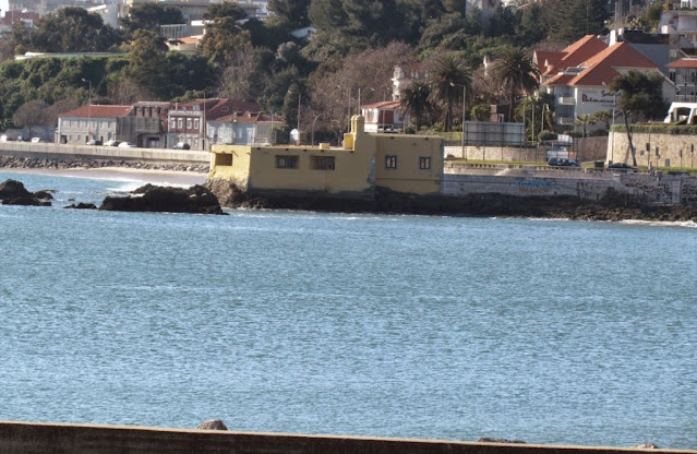
The Fort of São Bruno is situated on the estuary of the River Tagus in Caxias, Oeiras Municipality, near Lisbon in Portugal. It was built in 1647 and became operational in 1649 as part of the construction of a line of forts to control access to Lisbon, which stretched from Cabo da Roca on the Atlantic coast to the Belém Tower near Lisbon. The fort is well preserved, following its original design, and is considered one of the most attractive examples of maritime military architecture on the Portuguese coast.
QUINTA REAL DE CAXIAS
free visit
GPS N 38.69969; W 9.27479
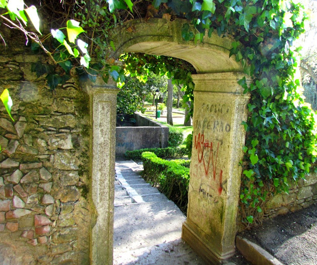
The "Quinta Real de Caxias", or "Jardim da Cascata", or "Gardens of Quinta Real de Caxias", is the main park in Caxias, Oeiras.
It is a walking space created around the gardens of the Royal Palace of Caxias, being an example of the Recreational Gardens that characterize Oeiras, and currently one of the elements of greatest architectural and historical interest. It is a unique example in the panorama of garden art due to the architectural, sculptural, and allegorical value of the ensemble of the waterfall, viewpoint, and sculptural groups. His sculptures by Machado de Castro are surrounded by a Versailles-style environment.
































.JPG)

