


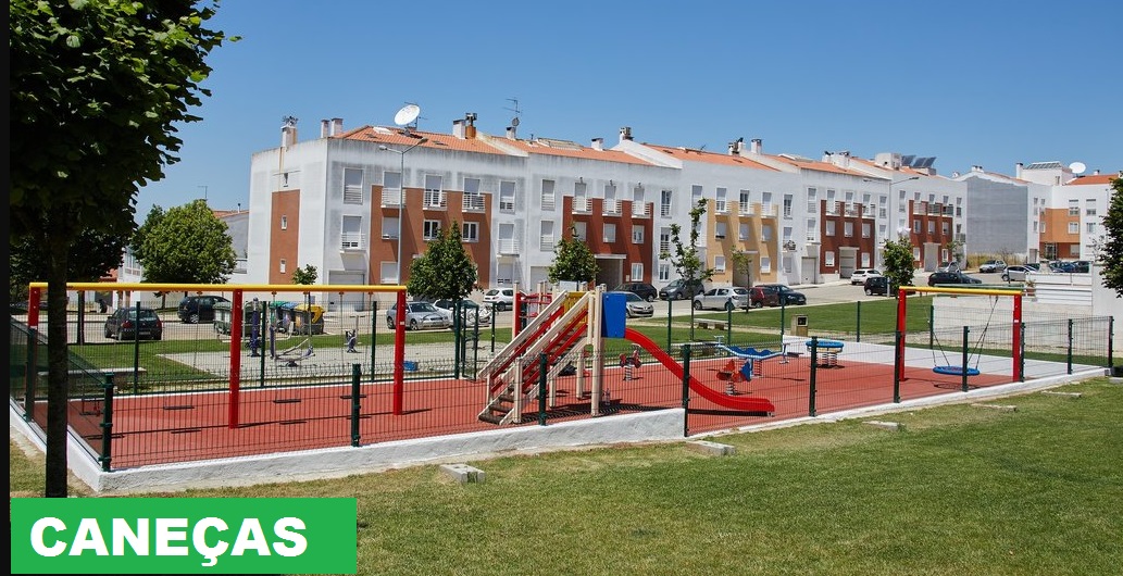
CANEÇAS
N 38º 49' 12''; W 9º 13' 48''
Caneças is an old Portuguese parish in the municipality of Odivelas, with an area of 5.85 km² and 12 324 inhabitants (2011). Its demographic density was 2 106.7 h / km².
It was extinguished (aggregated) by the administrative reorganization of 2012/2013, its territory being integrated into the parish of Ramada and Caneças.
Caneças includes the sites of Caneças, Lugar d'Além, Casal Novo, Piçarras and Vale Nogueira. It borders the parish of Famões and the old parish of Ramada (in the municipality of Odivelas), Loures (in the municipality of Loures), Almargem do Bispo and Casal de Cambra (in the municipality of Sintra).
Lisbon has always had problems with the water supply. In the Carenque area, between Belas and Caneças, you can find the remains of a Roman dike. Roman plumbing must have been destroyed, in part, by earthquakes. The same must have happened with the Arab systems.
In the Middle Ages, water supply shortages are very serious. In the 15th century, the ships that arrived in Lisbon, from Lisbon left without the water for the trip. It is D. João V that, through the collection of taxes on the products that entered the city, in 1731, the construction of the Águas Livres Aqueduct started, originating from the Fonte das Águas Livres, near Carenque, going to flow into the Amoreiras deposit, whose Mãe d'Água was finished in 1834.
As for the aqueducts, the exact date of its construction is not known, but it is around the second half of the 18th century. These are four, all subsidiaries of the Águas Livres Aqueduct: Olival do Santíssimo, Poço da Bomba, Vale da Moura and Carvalheiro. The secondary aqueduct, the largest of the four, is that of Olival do Santíssimo, starting from Quinta do Macário, near Quinta de Castelo de Vide, ending in Belas / Sintra. The other three start in Caneças, connecting with the first. Only the Carvalheiro Aqueduct ends at Olival do Santíssimo, already in the Municipality of Sintra.
Around 1910, before the First War, Caneças had no roads, but the water was already being sold there. The water went to Lisbon on donkeys along uneven paths. The peak of water sales reached Caneças around 1928-1930.


CANEÇAS
GPS N38.81276; W9.22703

CANEÇAS - FONTE
DAS FONTAINHAS
GPS N38.81594; W9.22947


"ÁGUAS LIVRES" AQUEDUCT
GPS N 38.81604; W9.23015


😃😃😃😃😃😃😃😃😃😃😃😃

BELAS
( P ) GPS N38.77733; W9.26460
Belas is a village and former Portuguese parish in the municipality of Sintra, with an area of 21.89 km² and 26 089 inhabitants (2011; density: 1 191.8 inhabitants / km²).
The territory where the village of Belas is located has characteristics that undoubtedly determined its settlement, organization, and development. Located between mountains, some of the small relief others more rugged, such as the Serra da Carregueira, intersected by valleys fertilized by the abundant water lines, Belas dates back to the beginnings of the Nationality where the limits of the parish and village of Belas were known in the 12th century. The archaeological records found to allow to determine the existence of human presence since the Middle Paleolithic (40 000 to 30 000 BC), from there passing through the Neolithic, Chalcolithic, Megalithic (we can find some megalithic complexes, such as the megalithic complex of Monte Abraão - markedly funerary), but always denouncing a very low population density. Only in the Romanization period did we find traces of significant population density and some organization. From this period, the remains of the Roman dam, located on the road that connects Belas to Caneças, stand out. The Arab presence also left some traces, mainly the local toponymy (examples: Massamá, Queluz, Meleças).
Belas was a town and county seat until 1855. In 2013, as part of the administrative reform, it was annexed to the parish of Queluz, creating the Union of Parishes of Queluz and Belas.


PAÇO REAL DE BELAS
(ROYAL PALACE OF BELAS)
Paço Real de Belas / Palace of Quinta do Marquês / Palace of Quinta do Senhor da Serra.
Quinta do Senhor da Serra, also known as Quinta dos Marqueses de Belas or Quinta do Pombeiro is a monumental complex that comprises the late Renaissance palace, the Manueline chapel, tapir, baroque sanctuary and the forest perimeter.
The history of the property goes back to the foundation of nationality. The 14th century may have been the time when more investment was made in property. It is very possible that the great Gothic turret, more than twenty meters high, and the aulic body animated by ogival arches were built during that period, around the time of the reign of D. Pedro I. in the aulic architecture of that time.
In the 16th century, there was a new campaign. The Manueline chapel bears witness to this reality, followed by another one, already fully Renaissance in flavor, as we can infer from the observation of the “courtyard of honor” - built in the second quarter of the 16th century. Renaissance purity is expressed in the crowning counter and the pavilion with a dome of buds.
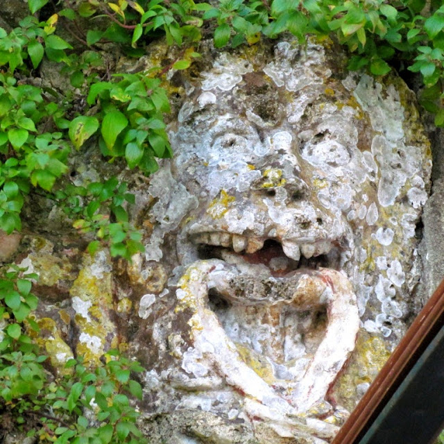
Adhering to the walls of the magnificent Paço de Belas, there is a stony tank under an exuberant 17th-century bas-relief, very much in the Baroque style, representing the Punishment of Midas. Very fragmented, Domingos Caldas Barbosa's description of him in 1799 remains, where Midas is represented with donkey ears and Jupiter strutting before Apolo playing the lyre.
Currently, Paço Real de Belas is a place where weddings take place.


QUINTA NOVA DA ASSUNÇÃO
Built during the last quarter of the 19th century, at the initiative of the merchant João Maria da Silva Rego, the palace was completed, quite possibly, in 1866, a date inscribed in one of the annexes. In fact, the completion of the works on the main building likely took place a few years earlier, with 1863 being the most likely year for its inauguration.
Rectangular in a plan, the property has a set of facades that are based on sobriety and symmetry in the opening of the openings, in a perfect round arch, inscribed in a rectilinear frame. In the main elevation, the central panel stands out for the double pilasters that delimit it, and for the crowning in a triangular pediment (hollowed out by an oculus, in the tympanum), which interrupts the plateau, which runs through the entire building.
Inside, it is the fresco paintings that take on special significance, since their Pompeian motifs, imitation fabrics and brocades, or scenes from nature, are found in most rooms and bedrooms. We perceive here an eclectic and romantic taste, still present in the so-called Chinese Hall.
Returning to the outside, the gardens correct the slope of the land through stairs, benches, pavilions, and other equipment, where the tile is a constant presence. Attributed to Luís Ferreira, this tile covers tanks, benches, and walls, with motifs of birds, flowers, and foliage.
Quinta Nova da Assunção, right in the center of Belas, is a beautiful example of 19th-century architecture with exotic influences. It was inaugurated by the municipality of Sintra on July 28, 2015.
In the magnificent and vast gardens, populated by small pavilions, ponds, and lakes, there is an amazing set of tiles of an intense multiplicity of colors, allowing visitors to enjoy the surrounding area for socializing, recreation or rest.
Opening Hours::
April to September: 10 am to 7 pm
October to March: 10 am to 6 pm


😐😐😐😐😐😐😐😐😐😐😐😐😐😐😐😐😐😐😐😐😐😐😐😐😐😐😐😐😐😐
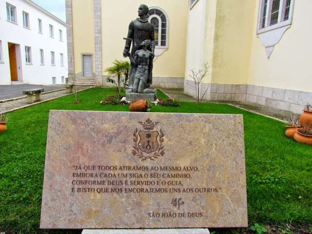
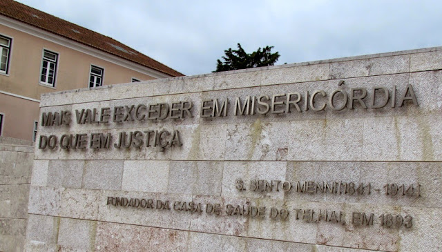
TELHAL


CASA DE SAÚDE DO TELHAL
GPS N38.80732; W9.30681
( P ) GPS N38.80688; W9.3075


😐😐😐😐😐😐😐😐😐😐😐😐

ALGUEIRÃO - MEM MARTINS
N 38º 47' 39''; W 9º 20' 42''
The parish is characterized by two distinct areas, one urban (Algueirão, Mem Martins, Mercês and Tapada das Mercês) and another with rural characteristics (Sacotes, Coutinho Afonso, Raposeiras, Casal da Mata, Recoveiro, Baratã, Pexiligais and Barrosa). There is also a demarcated industrial area located in the Bairro de S. Carlos.


No comments:
Post a Comment