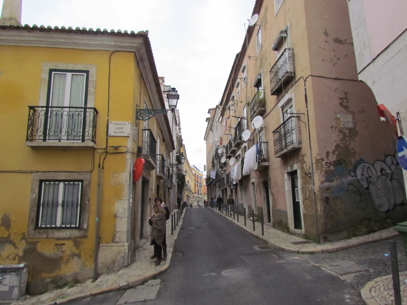
BAIRRO ALTO

D - GLÓRIA FUNICULAR


The Bairro Alto district is generally delimited in the south by the Calçada do Combro and Rua do Loreto, west by Rua do Século, north by Rua D. Pedro V and east by Rua da Misericórdia and Rua de São Pedro de Alcântara. It is, topographically, a plateau with a medium elevation of76 metres (249 ft) terminating in the north, with an accentuated slope towards the south. The soils consist of primarily a mixture of sandstone and grit, with clays.
Although central to Lisbon, it is normally identified by a different urban nuclei. To the south, running contiguous with the Bairro, is Bica, a zone between the Bica and Alecrim Rivers, and the area of Cata-Que-Farás, which developed at the same time as the Bairro Alto, but was completely transformed by the 1755 earthquake. In the east is the Chiado, Misericórdia, Largo da Trindade and São Pedro de Alcântara. A connection that existed between Bairro Alto and Chiado from the 16th century, was the medieval wall, identifiable by the Calçada do Combro, Rua do Loreto and Rua Garrett, which was the principal exit gate to the west, through the gates of Santa Catarina (whose opening was in the Largo do Chiado). Immediately around this is the Praça Luís de Camões and the Largo do Chiado, and specifically, the iconic Church of Nossa Senhora do Loreto and the Café A Brasileira. To the north, at the end of Rua da Misericórdia is the Largo Trindade Coelho, where the Church of São Roque and Lisbon Misericórdia are located. From here it is the beginning of Rua de São Pedro de Alcântara characterized by structures in a Romantic architectural style and extending to the north until Rua D. Pedro V, defined by the iconic garden/lookout of São Pedro de Alcântara.]And still, the Ascensor of Glória connects to the Praça dos Restauradores and Avenida da Liberidade. To the west, immediately near the frontier defined by Rua do Século and the zone delimited to the south by Rua de São Bento and north by Rua da Escola Politécnica are the Garden of the Prince Royal (Portuguese: Jardim do Príncipe Real), the Academy of Sciences building, the Church of Santa Catarina, the Convento dos Paulistas (Convent of São Paulo) and Palácio Pombal(Palace of Pombal).
One road, the Rua da Rosa runs through the Bairro from one extreme to the other, dividing the neighborhood in half, and along with theRua João Pereira da Rosa (old Calçada dos Caetanos), Travessa dos Inglesinhos and Travessa da Queimada, divide the bairro in four distinct zones, reflecting different phases of urbanization.


F - SAO PEDRO DE ALCANTARA BELVEDERE
LOWER GARDEN


 |
| CAMÔES AND VASCO DA GAMA |


G - SÃO PEDRO DE ALCÂNTARA CONVENT


Lisbon seen from the viewpoint of São Pedro de Alcântara(*****):


INSIDE "BAIRRO ALTO"


BAIRRO ALTO - MAP ( Color Yellow - tourist area, nightlife (restaurants, bars, clubs, pickpockets and fado);
 |
| LISBON-BAIRRO ALTO - MAP |


 |
| 1+2 - CHURCH OF SÃO ROQUE + MUSEUM; 3 - LAVRA FUNICULAR; 4 - VIEWPOINT OF SÃO PEDRO DE ALCÂNTARA; 5 - BICA FUNICULAR |


Coordenadas: 38°42′44″N 9°08′42″O (mapa)

SÃO LUÍS DOS FRANCESES HOSPITAL ( WHERE FERNANDO PESSOA DIED)


MORE PICTURES ( INSIDE BAIRRO ALTO )